Extra security, quality and speed with GPS
31 March 2020
Facts. Before every project we want to know exactly what we will find on site, so that we can present our clients with cost-effective quotes and time plans. And on delivery we want to be able to show our client and the Dutch land registry organisation (Kadaster) exactly what we have accomplished. Facts like this give security, speed and quality. That’s why from today our professionals will be working with GPS measuring rods.


Preparation, delivery and post-registration at a higher level
At Allinq we investigate the concepts and designs that we make for clients with great care beforehand. An experienced site surveyor determines if all positions are possible and records any obstacles or ground coverage precisely. This means that the courses are well thought through in the design phase and the financial side of projects can be forecast reliably. Using GPS measuring rods and software with valuable (Klic) data we can bring our preparations to a higher level. The facts that are recorded using GPS during the site survey are read in work planner and incorporated in the drawing for the license application. Precisely and quickly.
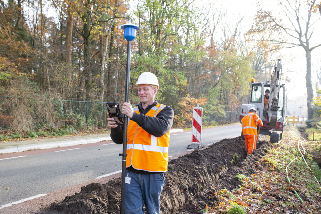
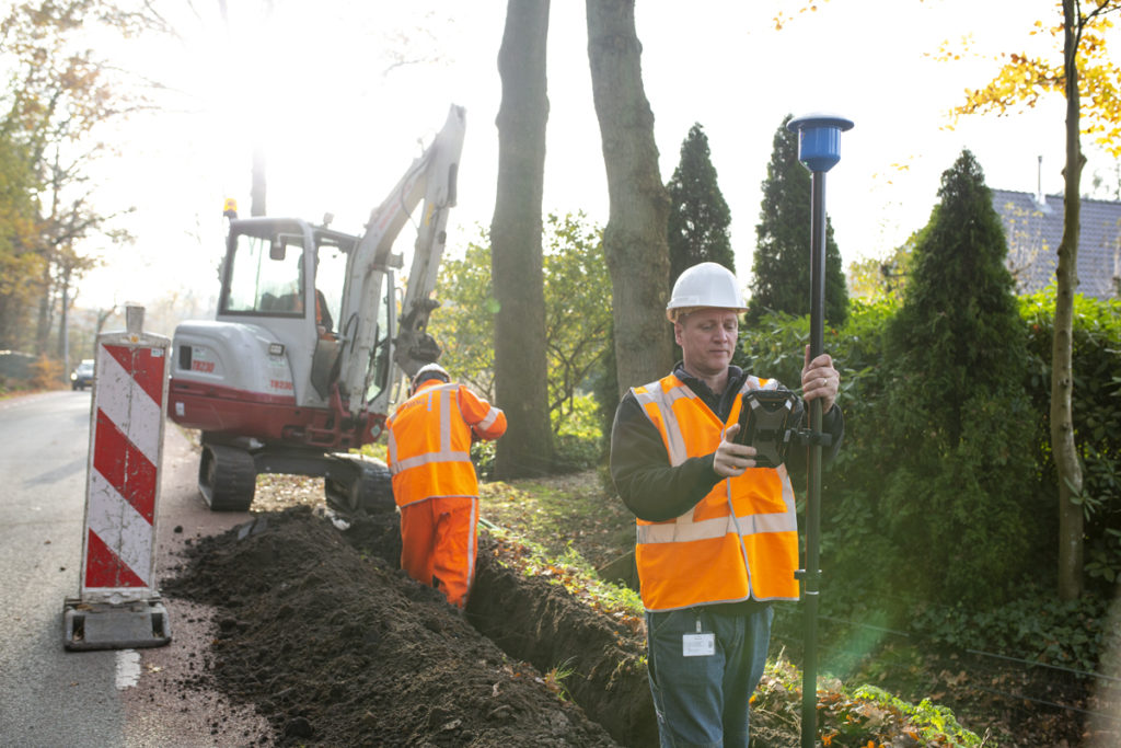
GPS has also proven its added value in the delivery of work. The GPS measuring rod measures faster, but above all more precisely than was possible with manual measurements. This means that we can install infrastructure within a centimetre. This type of detail is not only vital to professional reporting to our clients, but it is also important for accurate Klic reports. Furthermore this offers added value for any future revisions. Years later we can use the GPS measuring rod to pinpoint the location of infrastructure that we installed in the past.
GPS everywhere!
We are very pleased with this new tool that we plan to roll out throughout the Allinq organisation. In the days of the measuring wheel we depended on buildings as a reference point. During processing in the office, we relied on the legibility of the paper notes we had taken. Now, with the GPS measuring rod, the chance of errors is practically zero. It detects the exact x-y-x coordinates of the point being measured and sends them to the tablet. The software processes the measurement data and immediately sends it on to the work planner. Furthermore, the Klic data or measurement data from other systems can be loaded so that we can retrieve the exact GPS location on site.
There are pipes, cables and conduits everywhere. So it’s important to share responsibility and choose a uniform process using GPS.
We are convinced that the GPS measurement technology that we have rolled out throughout the Allinq organisation has even more to offer the market. So at Allinq Labs we are doing pioneering work on new applications to be able to benefit even more from GPS.
